
Trace Flint Street Directory Records
Address work in Flint starts by making the street number, direction, and suffix consistent. That avoids mixing a physical parcel with a mailing label or an older form of the street name. The City of Flint property route and Genesee County parcel viewer connect an address to a parcel. The parcel, legal description, and deed reference then make the search repeatable when a street number is uncertain. A Flint street directory is strongest when it keeps those different record roles separate.
- Enter the normalized address in the city property route or Genesee PHD, selecting Flint as the municipality in PHD. Save the returned situs address, parcel or tax-map number, and legal description.
- Read the property record as owner evidence. Record the assessed owner and mailing address, but keep them separate from the situs address and do not treat either field as a current household list.
- Open the deed reference, then use the Register of Deeds index for the latest transfer. Record grantor, grantee, recording date, document number or liber/page, and the legal description.
- Where permitted civic evidence is needed, use Michigan's QVF public-record route with a narrow Flint geography and permitted fields. A personalized voter lookup is for the voter, not a public street roster.
- For a historical address listing, check Flint Public Library's name and address directory material. Compare the publication year, abbreviations, and neighboring addresses before drawing a conclusion.
That order moves from a place to documented ownership, then to time-specific civic and directory evidence. It also makes it easier to see when two records concern the same lot rather than two similar street numbers.
Flint Parcel Keys by Address
The City of Flint property lookup leads to BS&A Online for current assessment information. Genesee PHD is the countywide companion for ownership history, deed references, and map material. For PHD, select the Flint municipality, choose Address, Owner Name, Deed Info, or Tax Map number, and begin broadly enough to catch direction or suffix variations. The map, report, and tax-map links each answer a different question.
The City property-lookup gateway is shown here as the official route to current Flint property information.
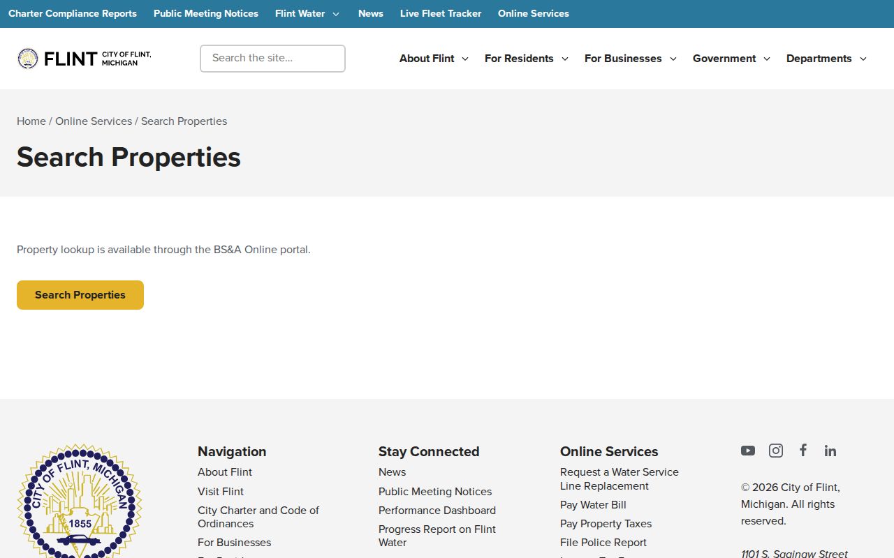
The gateway is useful for starting an address search, but the live Flint BS&A field labels and street-browse behavior require confirmation in the application.
- Parcel
- A defined tract of land used in assessment and mapping records. Its number is often steadier than a changing street number.
- Situs address
- The physical location of the parcel. It can differ from the address used for tax correspondence.
- Plat
- A recorded subdivision map that connects a lot and block description with map context.
- Criss-cross directory
- An address-arranged directory section that can point from a house number to a published listing for that edition.
Note: Preserve the legal description with the address because it is the best bridge when historic records use lot, block, or metes-and-bounds language.
Flint PHD Search Fields
The Genesee Real Property Parcel History Database states that county parcels, ownership history, deed references, and related information are updated weekly. Quick search begins with municipality or Swis and a tax-map number. Advanced search permits a different path. Leave Exact Match off at first when a surname, direction, or old street form may vary, then narrow the result. The interface can limit a broad result display to the top 100 records.
| Flint PHD field | Input | Use in an address search |
|---|---|---|
| Municipality/Swis | Required selection for quick search | Select Flint before a tax-map search. |
| Tax map number or part | Text | Use a returned parcel key or a prefix such as the documented example format. |
| Search By | Mode selector | Choose Tax Map #, Deed Info, Owner Name, or Address. |
| Address or owner name | Text | Use variants, then compare the parcel and legal description. |
| Exact Match and Top 100 | Checkboxes | Control a broad result set without changing the underlying record. |
| GIS Map, Report, Tax Map | Links | Open the boundary view, record detail, and lot or parcel context separately. |
The City and county do not divide the work the same way. Genesee Equalization says City of Flint property descriptions are an exception to its county-maintained description responsibility. Route a Flint parcel through the city assessor and cross-check it with PHD and county deed evidence.
The Equalization office page explains the county assessment split that affects a Flint street directory search.
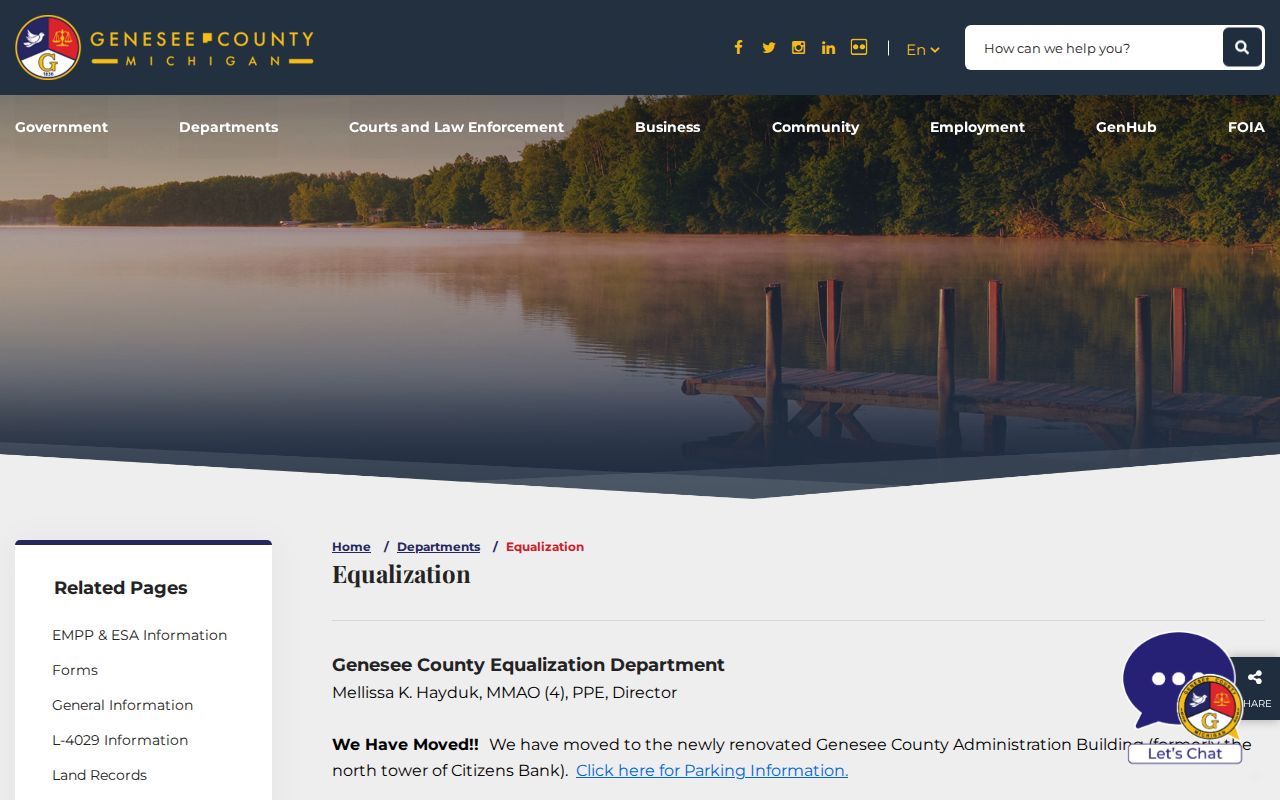
Assessment coordination does not replace the Flint assessor's current parcel record, so the city and county sources should be dated and compared.
Flint Records Searchable by Address
Address-keyed records do not all identify the same thing. A property card may connect an owner to a parcel. A recorded instrument supplies parties and a recording trail. A planning map provides a boundary or land-use setting. The table keeps the Flint street directory focused on evidence rather than assuming an address produces one complete answer.
| Address record | Keeper | What it can show | Access route |
|---|---|---|---|
| Current assessment/property card | City assessor and BS&A | Owner, parcel, assessment fields, situs and mailing data | City gateway, counter, or FOIA fallback |
| Parcel history | Genesee PHD | Ownership history, deed references, legal and tax-map data | Public viewer with map, report, and tax-map links |
| Deed and mortgage index | Register of Deeds | Parties, type, recording reference, legal description when available | Recent online index, office terminal, counter, or mail |
| Building permit record | Flint Building & Safety | Released work, applicant, contractor, inspection, and date fields | Address and date request or city FOIA |
| Zoning and planning map | City Planning and Zoning | District, ward, future land use, and map context | Maps, staff contact, report route, or FOIA |
| Historic directory or map | Flint Public Library and archives | Published address listings, lot and structure context | Local-history room, map collections, or archive request |
An assessment record can include exemptions or a mailing address. Neither identifies every resident. A map may place the parcel precisely, yet it cannot turn an ownership field into proof that every person connected to the property is there today.
Flint Deed Paths Along Streets
After PHD provides a deed reference, use the Genesee Register of Deeds online search to find the recorded transfer. Search grantor and grantee separately, try spelling or initial variants, and preserve the document number or liber/page. For the next transfer back, search the seller from the newer deed as the prior buyer. Repeat only when the legal description supports the match. Along one block, the parcel key is more dependable than street text alone.
The Register of Deeds online-search notice identifies the recent-index path and its limits.
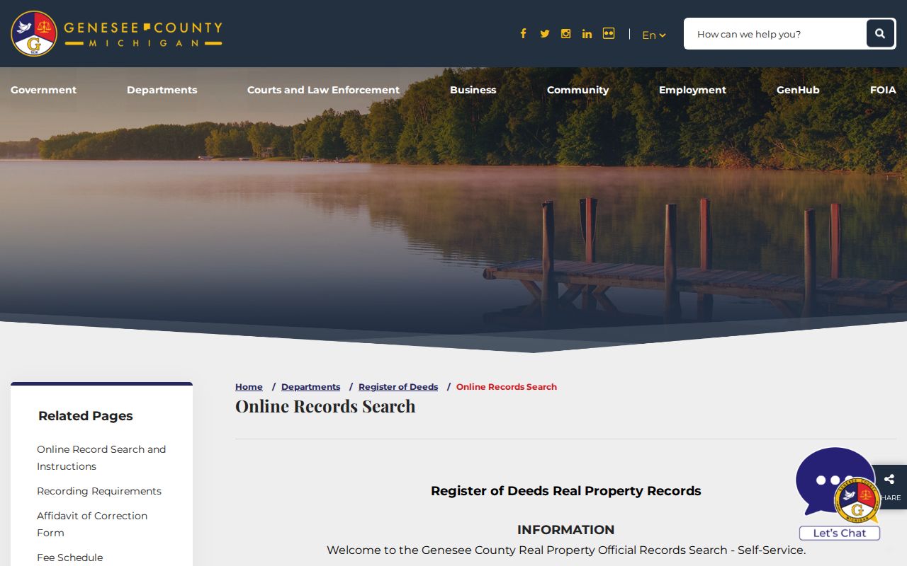
The notice matters because a search result is an index lead. The recorded image, counter record, or certified copy is the place to verify the actual instrument details.
Online coverage has a documented split: the search page says records before 1983 are not accessible online, while the FAQ describes the ordinary online index as since 1985. Treat 1983 and 1984 as records to test, not as a settled cutoff. The office reports free public computer terminals and in-office research reaching to the 1800s. Historical books include images for 1736 through 1772, but those images are not indexed by name.
The Register of Deeds office page is the proper next stop for a counter search, copy request, or question about an older book.
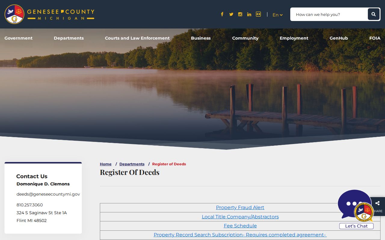
When the web index ends, record the year, surname initial, book type, and document reference before using the office terminal, a mail request, or the historical-book route.
Note: A recorded deed establishes a recorded transaction, not a present occupancy finding or a legal determination of title.
Flint Street Voter Boundaries
Michigan voter-registration information is public through FOIA, but the public record is not a casual address-by-address web roster. The Michigan Voter Information Center is a self-service tool for a voter to check personal registration and polling details. For a permitted public-record request, use the Secretary of State's QVF route and keep the request narrow to the needed Flint geography, ward, precinct, date, and field category.
Permitted voter information can be a civic layer beside a parcel. It does not prove that every adult at an address is registered, and a non-match can reflect an old address, a protected record, an inactive status, or a spelling difference. Phone numbers, full birth dates, identifiers, signatures, and ballot choices are protected. Flint ward and precinct documents add context, not a household inventory.
Flint Street Permits and Zoning
Flint Building & Safety lists building, electrical, mechanical, and plumbing permits, but the research did not locate a public address-searchable permit index. Ask the office or submit a city FOIA request with the address, parcel if known, date range, permit type, and needed fields. That wording gives the custodian a record boundary instead of asking for a vague street history.
The Building & Safety page identifies the city permit and inspection contact route.

The absence of a public search box is not proof that a permit record does not exist. It means the documented route is an office or FOIA request.
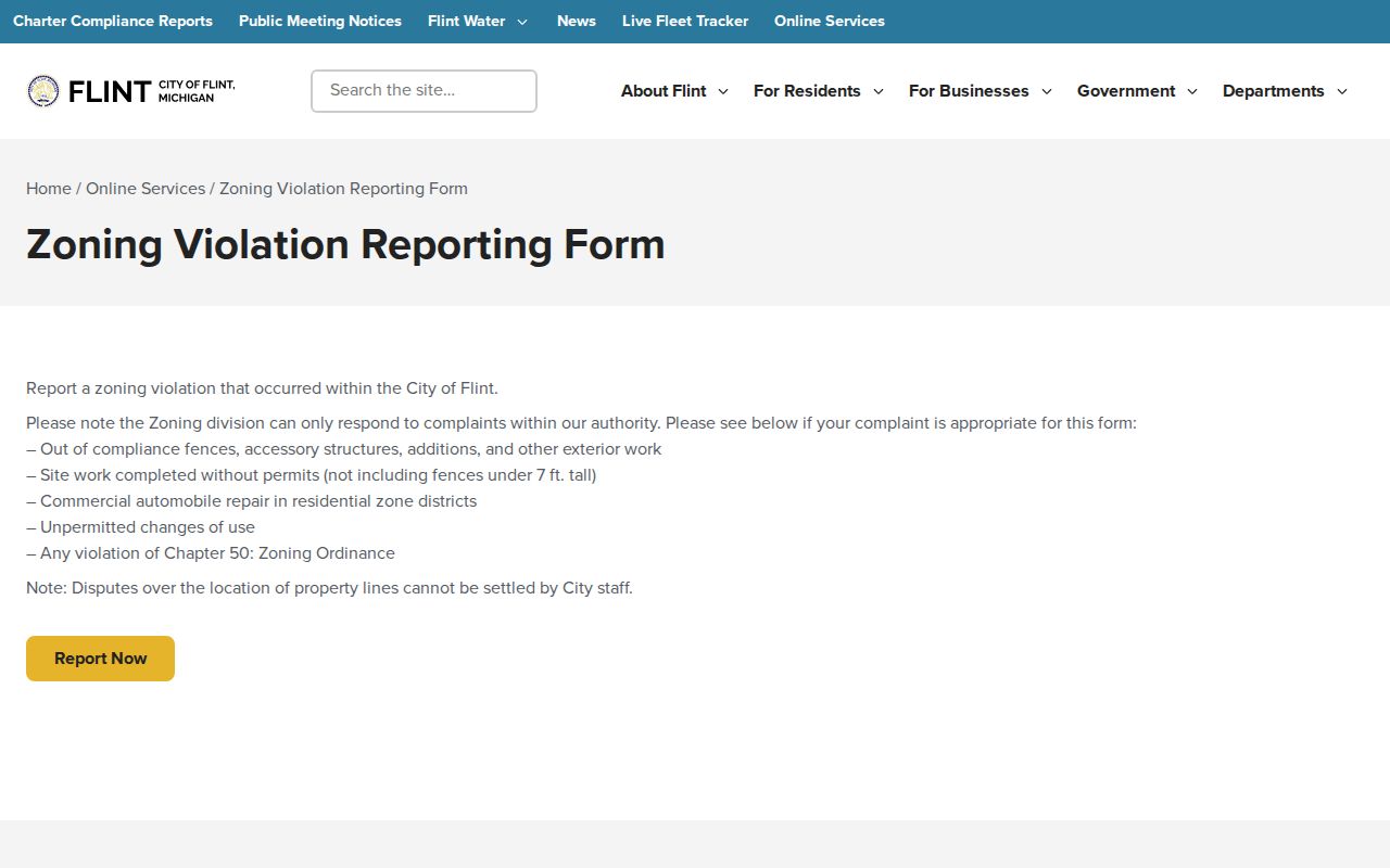
The city zoning map is dated February 6, 2025, and the city says its zoning code had an amendment effective December 7, 2025. Prior map versions are held by staff. The online zoning-violation service is an intake form, not a public case index, so a submitted report should never be treated as a final finding.
The zoning-violation reporting route illustrates the city address intake process.
For a released zoning or permit record, note the map or code version and ask for the statutory basis if a requested field is withheld.
Flint Street Directory Map Bridges
No official source located a complete Flint renumbering or street-renaming schedule. Do not force an old directory number into a current parcel card. Flint Public Library's house-history resources provide the safer bridge: historic street maps, Sanborn maps, plat maps, 1971 aerial photographs, and a neighboring address. Compare a stable intersection, lot or block, and legal description before deciding two number forms refer to the same place.
Sanborn sheets help with lot outlines, building footprints, materials, and printed street names, but they do not name every occupant. The Library of Congress identifies a Flint 1898 edition with 18 sheets, while later editions provide another form of address context. A parcel's situs, mailing label, ZIP, ward, census geography, and planning boundary each answer different questions. Keep them in separate notes.
Flint Street Directory Past Listings
Flint Public Library describes R.L. Polk and Company directories for Flint and surrounding communities from the 1890s to the present day. They are arranged by name or address, and some volumes contain useful reverse or address material. The public research did not confirm a separate criss-cross title or a complete year-by-year run, so ask local-history staff to identify the volume and address section for the date at issue.
Read an address page first, then move to the name page for the same edition. Preserve initials, spouse notation, abbreviations, and any owner or occupancy mark exactly as printed. A directory entry is evidence that the publisher listed an address in that edition. It is not proof of title or an exact move date. For a broader current street chain, use the address-led records above; the Flint city directory collections provide the historical-shelf context.
Note: A gap between editions may reflect the publication run or a missing volume, so confirm the shelf before treating silence as a move.
Flint Street Directory Property Scale
The Flint Property Portal guide describes more than 60 data points for each of 56,000 Flint properties, or more than four million information pieces in the guide's own description. Those figures describe the portal's property scale, not a count of residents. Its documented attributes include use, condition, public ownership, demolition status, ZIP, census tract or block group, and ward or section boundaries. The portal can organize a street pass before a researcher compares the parcel record with county deeds.
Use condition, public-ownership, and boundary layers as property context. They do not identify everyone associated with a home. A change in a condition indicator also needs its source date, because the guide says data is updated daily for decision-making.
Flint Street Directory Limits
A Flint street directory cannot produce a complete household list. Parcel and assessment records focus on land and assessed ownership. Directories are dated publications. Voter information has a public and protected-field split, and Michigan's Address Confidentiality Program can shield a participant's address. Utility and delivery records are not public address tools. A mailing address may be outside the physical parcel, so it must not be substituted for situs without saying so.
When a source is incomplete, the appropriate next step is the custodian, a focused Michigan FOIA request, or a library and archive check. Record the access date and the source's stated limitation with every result.