
Flint Neighbors Block Sources
Each source gives a different view of the block around a Flint seed address. Parcel records identify land boundaries and owner history. City maps locate civic geography. Library and archive sources can add an earlier address listing or a building context. Flint neighbors should never be reduced to one data field, because ownership, address listing, voter registration, and community contact information have different access rules and dates.
| Source | What It Shows About a Block | Access |
|---|---|---|
| Genesee PHD GIS Map | Adjacent parcels, boundaries, ownership and deed clues, map/report/tax-map links | Public viewer with municipality and search controls |
| Flint Property Portal | Selected-parcel condition, use, public ownership, demolition, ZIP, ward, and census attributes | Public lookup and map; data request route for datasets |
| City GIS map gallery | Ward, zoning, planning, downtown, and ArcGIS geography | Public maps with layer-date cautions |
| QVF public-record route | Permitted voter and precinct fields as a limited civic layer | Michigan FOIA form and protected-field rules |
| Planning Neighborhood Groups Map | Group geography and a city planning contact | Official map; no member directory located |
| FPL directories and maps | Historic address listings, lot, street, and structure context | Local-history room, library tools, and archive research |
A parcel neighbor may be beside, across from, behind, or separated by an alley, rail line, or boundary. An owner may receive correspondence elsewhere. Those are valid records facts, but neither fact alone establishes who is living at the seed address or its surrounding parcels.
Map Flint Neighbors by Parcel
Use legal description and map position to define the block before collecting names. The PHD map supports a repeatable parcel-by-parcel pass, while its report and tax-map outputs preserve different kinds of evidence. The documented workflow is an adjacent-parcel method, not a radius search. Research did not confirm a live PHD buffer, radius, measure, or click-adjacent control inventory, so do not claim that an unverified map control creates an official neighbor set.
- Search the seed address in Genesee PHD, selecting Flint as the municipality, and note its parcel or tax-map number, situs address, and legal description.
- Open GIS MAP, then pan at a readable scale along both sides of the street and toward rear or side boundaries. Decide which touching or facing parcels belong in the stated block scope.
- Click each included parcel and preserve the map, report, and tax-map result separately. Record its address, parcel key, owner-history or deed reference, and map date.
- Compare deed references only after the legal descriptions support the match. Publicly owned, split, merged, or same-owner parcels can change what appears to be a simple block.
- Use civic and historic sources as context, then stop short of treating an absent record as proof that a person is absent from the block.
This is a near-block method. For the full, named-street ownership chain, the Flint street directory follows the address evidence beyond the immediate parcel group.
Flint Neighbors in PHD
The Genesee Real Property Parcel History Database offers quick municipality and tax-map search plus advanced Tax Map #, Deed Info, Owner Name, and Address modes. It documents Map, Report, and Tax Map links, ownership history, deed references, and weekly information updates. Begin with an address and leave Exact Match off when street suffixes, directions, or older number forms may vary. Narrow after inspecting possible results and the top-100 display option.
The Genesee PHD viewer is the county-published starting point for a parcel-centered Flint neighbors search.
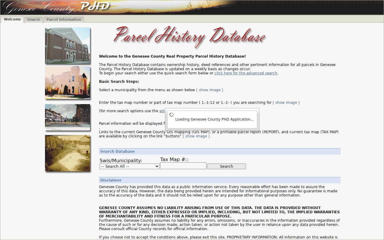
The viewer's map, report, and tax-map choices are not interchangeable. A map establishes adjacency, a report supplies record detail, and a tax map helps interpret lot and legal context.
Note: Keep the municipality selection with each result, because a Flint mailing label and a Genesee parcel municipality can point to different jurisdictions.
Flint Neighbors Property Layers
The Flint Property Portal is a property context tool, not a household roster. Its guide describes more than 60 data points for each of 56,000 Flint properties and says the information supports a selected parcel, condition maps, public ownership, demolition status, future land use, ZIP, census tract or block group, ward, and section boundaries. Those direct figures describe the property system's scale, not the number of people on a block.
Use condition and public-ownership layers to understand the physical and civic setting around the seed parcel. A public-ownership flag may explain a contiguous lot. A building-condition field may help date a research question. Neither field identifies every current occupant. The guide also describes daily updates, so note the access date before comparing a property layer with an older deed or directory.
Flint Neighbors Across Boundaries
Parcel, ward, zoning, census, ZIP, and planning boundaries overlap, but they are not substitutes for one another. The City map gallery links ArcGIS, city, ward, downtown, and planning maps. The zoning map provides a dated land-use layer. A ZIP is delivery geography, while a parcel municipality supplies legal jurisdiction. Start with parcel boundaries, then add the particular civic layer needed for the question.
The Flint map gallery provides the official map route for ward and planning context.
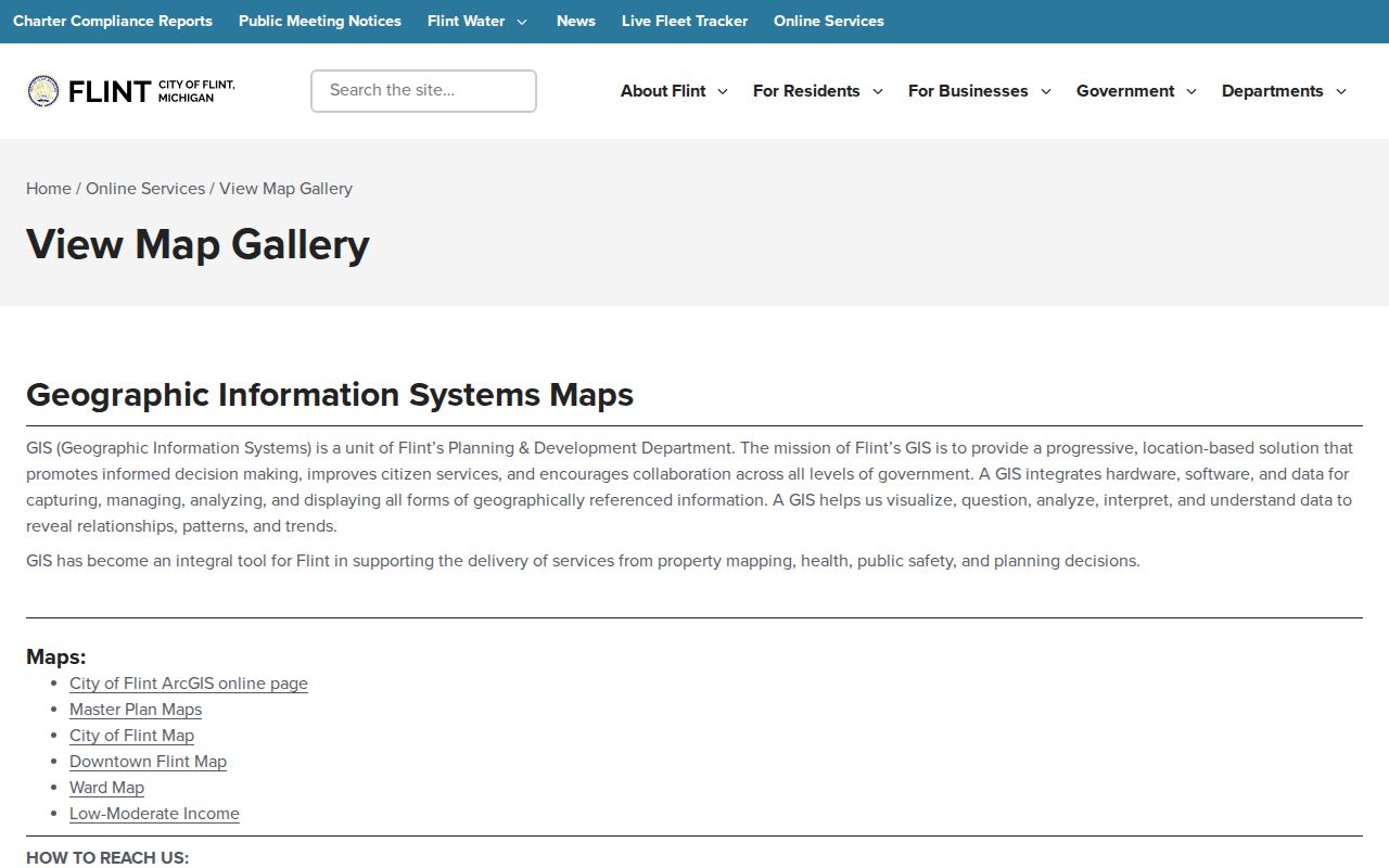
Map layers should be saved with their date and title. A boundary may explain an address context, but it does not prove the personal details of people near it.
The zoning page lists a current map dated February 6, 2025 and says the code was amended effective December 7, 2025. Prior map versions are held by staff, a useful route when a block question concerns a past map rather than a current district.
The Flint zoning division is the official source for the current map and staff-held earlier versions.
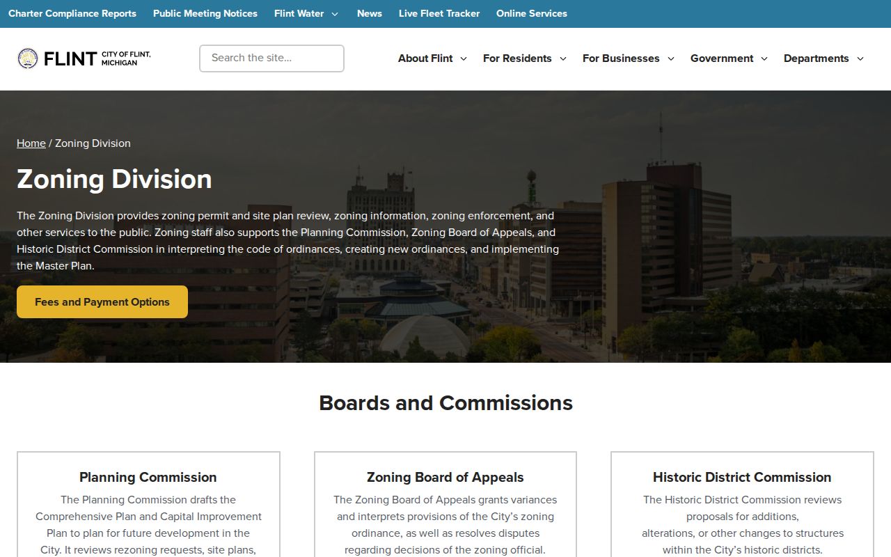
Zoning establishes the city layer around a parcel. It is not a public result card for a report or an address-based resident record.
Flint Neighbors Voter Scope
Michigan voter-registration records have public fields, but full sensitive data is not a free neighborhood roster. A permitted QVF response can include civic geography such as residence or precinct fields when law allows. Protected voters may be withheld or substituted, and phone numbers, full birth date, identifiers, signatures, and ballot choices are not public. Use that scope when deciding whether the voter record answers a block question at all.
The City of Flint elections and public-notice channels publish precinct-related documents and current civic notices. They can help identify dates and official ward or precinct material, not every voter associated with the block. A non-match may reflect a protected address, a former address, status change, spelling variation, or a person who never registered.
Flint public notices provide a current city route for election and precinct documents.
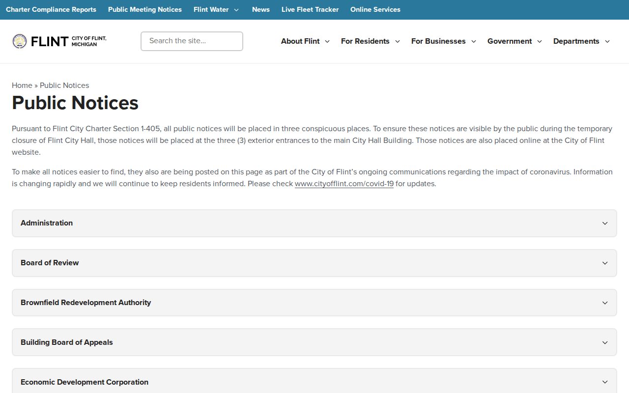
The notice stream adds civic timing and geography to a parcel search, but it should not be presented as proof of a household list.
Flint Neighbors Group Contacts
City Planning's Neighborhood Groups Map is the official route for community-group geography. The research did not locate an official complete directory of Flint neighborhood associations, civic councils, HOAs, member lists, meeting schedules, or joining procedures. A map label should therefore be used as a geographic lead, not as permission to infer a group roster. Ask City Planning for a current contact rather than relying on old informal posts.
The City Planning page hosts the Neighborhood Groups Map and planning resources.
The official map connects a block with planning geography. It does not publish a full association or member directory.
| Contact route | Use for block research | Documented access |
|---|---|---|
| City Planning | Current Neighborhood Groups Map, GIS and planning questions | 1101 S. Saginaw Street; (810) 766-7426, extension 3027 |
| Flint Public Library local history | Directories, maps, newspapers, house-history and microfilm leads | 1026 E. Kearsley Street; (810) 232-7111; local-history staff help |
| UM-Flint Digital Archives | Primary sources, neighborhood and community materials, photos, letters | Digital collections; check item-level access conditions |
| Genesee County Historical Society | Historic addresses, family and organization context | Ask Archivist route; no complete names index located |
Flint Neighbors Civic and Archive Routes
City-held licensing information can be a civic record route, but no public name-searchable city license register was located. The documented path is the division or a focused FOIA request, with the exact name, date range, record type, and requested fields. It should not be used as a substitute for parcel ownership or a community roster. The city page also notes that some licensing procedures use an in-person or mail route.
The Flint licensing division page identifies that city contact route and its procedures.
A specific record request is more reliable than assuming that a city-issued record is publicly searchable by block or address.
For historic context, Flint Public Library, UM-Flint, and the Historical Society have different roles. FPL combines directories, maps, newspaper material, and local expertise. UM-Flint preserves primary-source collections with item-level conditions. The Historical Society offers stories, photographs, and an Ask Archivist path, but the researched public page does not supply a complete index or fee schedule.
Flint Neighbors on Historic Maps
A historical block can be narrower or broader than a modern map label. Sanborn sheets show lot outlines, building footprints, materials, and printed street names, but not every occupant. The Library of Congress identifies Flint's March 1898 Sanborn edition as 18 sheets. The related 1914 edition has 102 sheets for the congested district. Those direct counts explain why an older central block may need more than a simple city map before it can be compared with a current parcel.
Pair a Sanborn sheet with a plat, the legal description, and a dated directory or deed reference. This preserves the distinction between a structure on a lot and a published address listing. Flint Public Library's house-history materials also identify street maps, 1971 aerial photos, and a limited Historic Homes Binder. Absence from that binder is not negative evidence about the property.
Note: Historic map context can clarify a lot or street name, but it cannot identify a complete set of people on the block.
Flint Neighbors Record Choices
Official records and generic commercial neighbor tools have different strengths. An official source identifies its custodian, access route, update context, and limits. A generic commercial product may combine material from many dates without explaining the original parcel, deed, or civic source. For a Flint block question, use the official record that matches the question and retain the record date.
| Record approach | Best use | Important limit |
|---|---|---|
| Official parcel and deed records | Parcel boundaries, assessed ownership, recorded transfer clues | Do not establish every current occupant. |
| Official civic maps and notices | Ward, zoning, planning, precinct, and dated public context | Do not create a person-by-person block roster. |
| Library and archive material | Historic listings, maps, images, newspapers, and local context | Coverage varies by collection, date, and access conditions. |
| Generic commercial neighbor tools | May offer an unverified starting lead | Confirm every claim with the named public custodian and a dated record. |
The right comparison is record to record, not a claim that any one source knows the whole block. Parcel and civic layers can be checked against each other without converting either one into a personal directory.
Flint Neighbors Privacy Boundaries
Flint neighbors research has firm privacy limits. A parcel owner is not necessarily an occupant. Household members are not a public parcel field. Protected voters and Michigan Address Confidentiality Program participants may not show a real address, and community groups are not required to publish members. Utility and delivery information are not open block-research tools. Use only the limited evidence each source actually releases.
Describe the chosen block scope, source date, and access limit in research notes. That practice is especially important when a map shows an alley, a public parcel, a merged lot, or a jurisdiction boundary that changes who counts as a parcel neighbor.